

High Raise [High White Stones]
Good walks are even better shared.
NY2709 : Deer I surprised
Ian Greig Photo source
Overview
High Raise [High White Stones]
High Raise stands proudly at 802 meters, offering a substantial yet manageable ascent for those looking to enjoy the magnificent scenery of the Lake District. This mountain holds a special place within the hearts of outdoor enthusiasts, not only for its scenic beauty but also for the challenging yet rewarding hikes surrounding it.
Geology
Nestled among Skiddaw slate, High Raise showcases geological features that are as fascinating as they are diverse. The stratified layers of slate offer insights into the region’s ancient past and provide a unique and rugged terrain for adventurers.
Routes
Two primary hiking routes lead up to the summit of High Raise. The Rossett Gill Route presents a moderate challenge with its stunning scenery of woodland and heather, while the Langdale Pikes Route invites more seasoned hikers to enjoy the diverse panorama it offers.
Summit Features
At the summit, the views are simply breathtaking. The distinctive cairn and trig point stand as monuments to hikers’ achievements. The panoramic vistas extend as far as the eye can see, enchanting visitors with the spellbinding beauty of the Lake District.
Terrain
Expect varied terrain, from rocky paths to grassy knolls. The diverse landscape may test your footing, particularly in wet conditions—so bring your best hiking boots!
Views
The views from High Raise are undeniably some of the finest in the Lake District. Highlights include the stunning Bowfell and the iconic Langdale Pikes. For the best experience, consider hiking during late spring to early autumn—just be sure to pack a waterproof jacket, or you might end up as drenched as a fish!
Hazards
As beautiful as it is, be aware of certain hazards when hiking High Raise. Loose rocks and the potential for sudden weather shifts are important to keep in mind. Always check the forecast and be prepared!
Nearby Summits
High Raise is close to other peaks, such as Bowfell and the Pike of Blisco, presenting ample opportunities for further exploration.
Access
The nearest parking is conveniently located at the Dungeon Ghyll car park. Public transport options from Ambleside and Keswick also provide great access, making this lovely mountain reachable for all.
Facilities
While facilities immediately at the base are limited, nearby Ambleside caters to all your post-hike needs with a variety of cafes and shops. Refuel with a warm cup of tea and a slice of cake—essential for any good walk!
History
The name High Raise reflects its significant height, while its alternative name, High White Stones, may point towards the quartzitic rock formations prevalent near the summit. Throughout history, it has become a staple in many walking guides, cherished by all who are adventurous at heart.
In conclusion, High Raise is a delightful destination for hikers of all levels seeking solace in nature, forging memories that will inspire tales of adventure for years to come. Lace up those boots and set out on a journey!
Blissfully challenging, naturally beautiful, and historically rich, there’s no time like the present to visit High Raise.
Explore routes near High Raise [High White Stones]
Walks starting near this hill. Open a route to check its map, distance and full itinerary.
Bow Fell from Langdale
View route
Scafell Pike from Seathwaite via the Corridor Route
View route
Great Carrs Halifax Wreckage from Wrynose Pass
View route
Scafell Pike via Brown Tongue and Hollow Stones
View route
Route planning notes
These notes describe possible approaches. Check a route's map and access information when planning your walk.
Rossett Gill Route
A moderately steep ascent through beautiful woodland and heather-covered hills, rewarding hikers with spectacular views.
Langdale Pikes Route
A classic route incorporating the surrounding peaks, providing a blend of hiking and stunning scenery.
Make a day of it, together
Find someone to share the walk with, or organise a day out along a route you like.
Photo Gallery
View all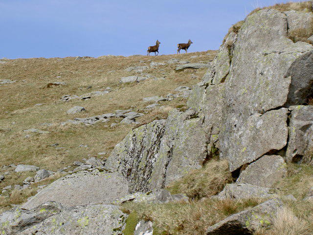 Photo could not load
NY2709 : Deer I surprised
Ian Greig
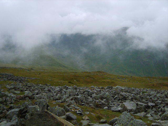 Photo could not load
NY2809 : From High Raise
Michael Graham
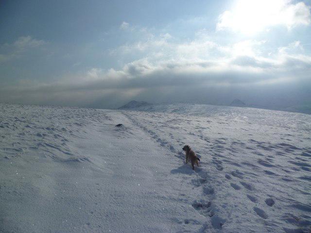 Photo could not load
NY2809 : Leaving High Raise
Michael Graham
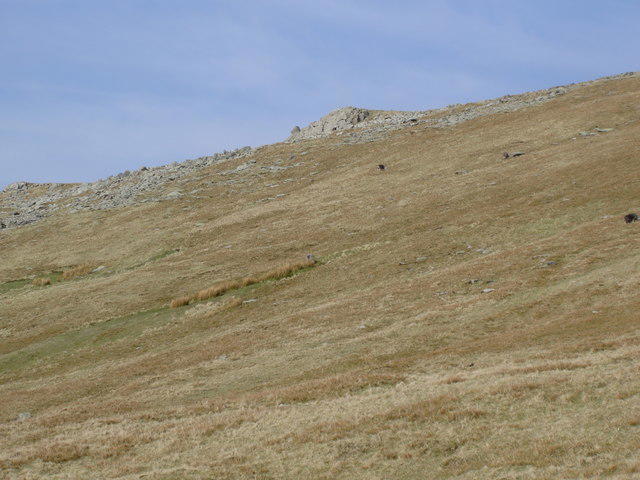 Photo could not load
NY2709 : High White Stones
Ian Greig
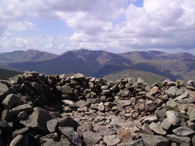 Photo could not load
NY2809 : Wind Shelter, High Raise
Michael Graham
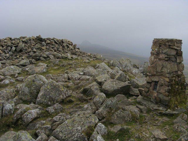 Photo could not load
NY2809 : High Raise Summit
Shaun Ferguson
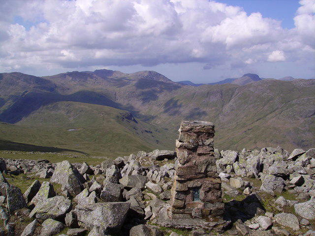 Photo could not load
NY2809 : Trig Pillar, High Raise
Michael Graham
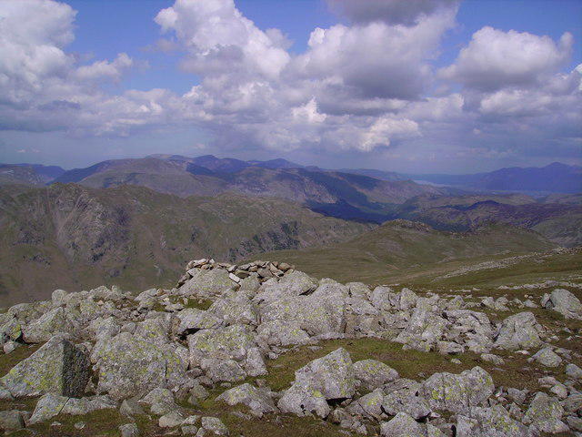 Photo could not load
NY2809 : High White Stones
Michael Graham
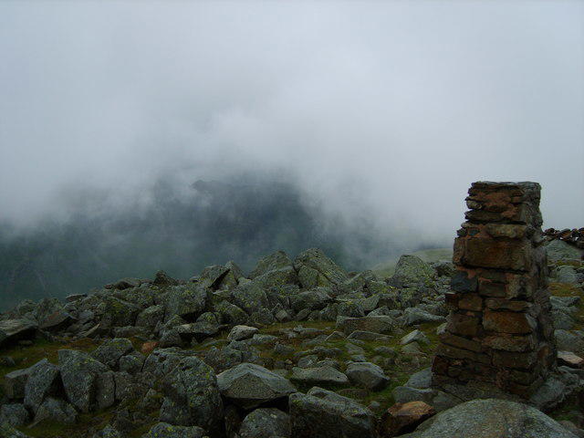 Photo could not load
NY2809 : Trig Pillar, High Raise
Michael Graham
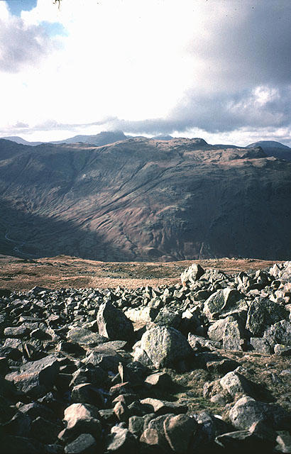
NY2809 : The view west from High Raise
Karl and Ali
Hill facts and local notes
Classifications
Elevation
762m
2,502 ft
Prominence
284m
Coordinates
54.4760, -3.1113
NY280095
OS Map
89 90
Explorer: OL4S OL6N
At the Summit
The summit is marked by a prominent cairn and offers a trig point for those keen on posing for a classic summit selfie.
Terrain & Geology
Primarily comprised of Skiddaw Slate, the mountain showcases the typical sedimentary layers that speak volumes of the region's geological history. The slate provides a contrasting backdrop to the lush greenery and rocky outcrops.
Views & Scenery
Visions of the sprawling Lake District, including views of Bowfell, the Langdale Pikes, and towards the distant fells.
History & Heritage
Name Origin
The name 'High Raise' refers to its lofty stature in the region, while 'High White Stones' may allude to the quartzitic rocks in certain areas giving the summit its distinctive appearance.
Historical Significance
High Raise has been a favoured walking destination for generations, often cited in walking guides and enjoyed by hikers both novice and experienced alike.
Getting There & Facilities
Parking
The nearest parking area is at the National Trust's Dungeon Ghyll car park, located in Great Langdale, which is a popular starting point for many hikes in the area.
Public Transport
Regular buses operate from Ambleside and Keswick to Great Langdale, making it accessible for those relying on public transport.
Nearby Facilities
There are limited facilities near the base, but Ambleside has several cafes, pubs, and shops for stocking up on essentials post-hike.
Safety Information
Known Hazards
- Loose rocks and wet conditions can lead to slips; also, keep an eye out for sudden weather changes typical of the region.
General Safety Tips
- Check weather conditions before setting out
- Carry appropriate clothing and equipment
- Let someone know your planned route
- Take a map, compass, and GPS device
- Carry emergency supplies: food, water, first aid kit, torch
Hills
Some common questions about the hills answered
Are there group walks up High Raise [High White Stones]?
Many walkers use Walkmates to join or organise walks with others. You can check for group walks around High Raise [High White Stones] through the maps
Are there other walkers around High Raise [High White Stones]?
Activity varies by location and time, but Walkmates lets you see whether others have shared walks or shown interest in this area. Find other people through the walking friends search walking friends for High Raise [High White Stones] search or of course create your own walk for High Raise [High White Stones]
Can I organise a walk to High Raise [High White Stones]?
Yes. If there aren’t any walks listed already, you can create a walk and make it available for others to join.
If you're signed up to Walkmates, you can create a walk to High Raise [High White Stones].
How do I find a walk up this hill?
There are often multiple ways to walk this hill, depending on experience and route preference. Walkmates helps you explore walks and routes that others have shared.
Can I suggest a new route up High Raise [High White Stones]?
Yes. You can suggest or create routes to share with others. Walkmates focuses on the social side of walking, so routes are used to help people organise walks and explore areas together, rather than as detailed navigation tools or route libraries.
Other uses really appreciate knowledgeable walkers sharing their routes. Share your favourite route to High Raise [High White Stones] here
The is an error or something incorrect about this hill. How do I let you know?
We always strive to keep the information on Walkmates as accurate as possible. If you find an error, please let us know through the contact form and we'll aim to correct it as quickly as possible
Community Discussion
Comments
Location
![High Raise [High White Stones] location map](https://cdn.walkmates.com/hill-maps/hill-sources/2396/54.47596_-3.11127.png)
Grid reference: NY280095
View on OpenStreetMapOpens a map in a new tab, centred on the hill.
No comments yet. Be the first.